Eradication

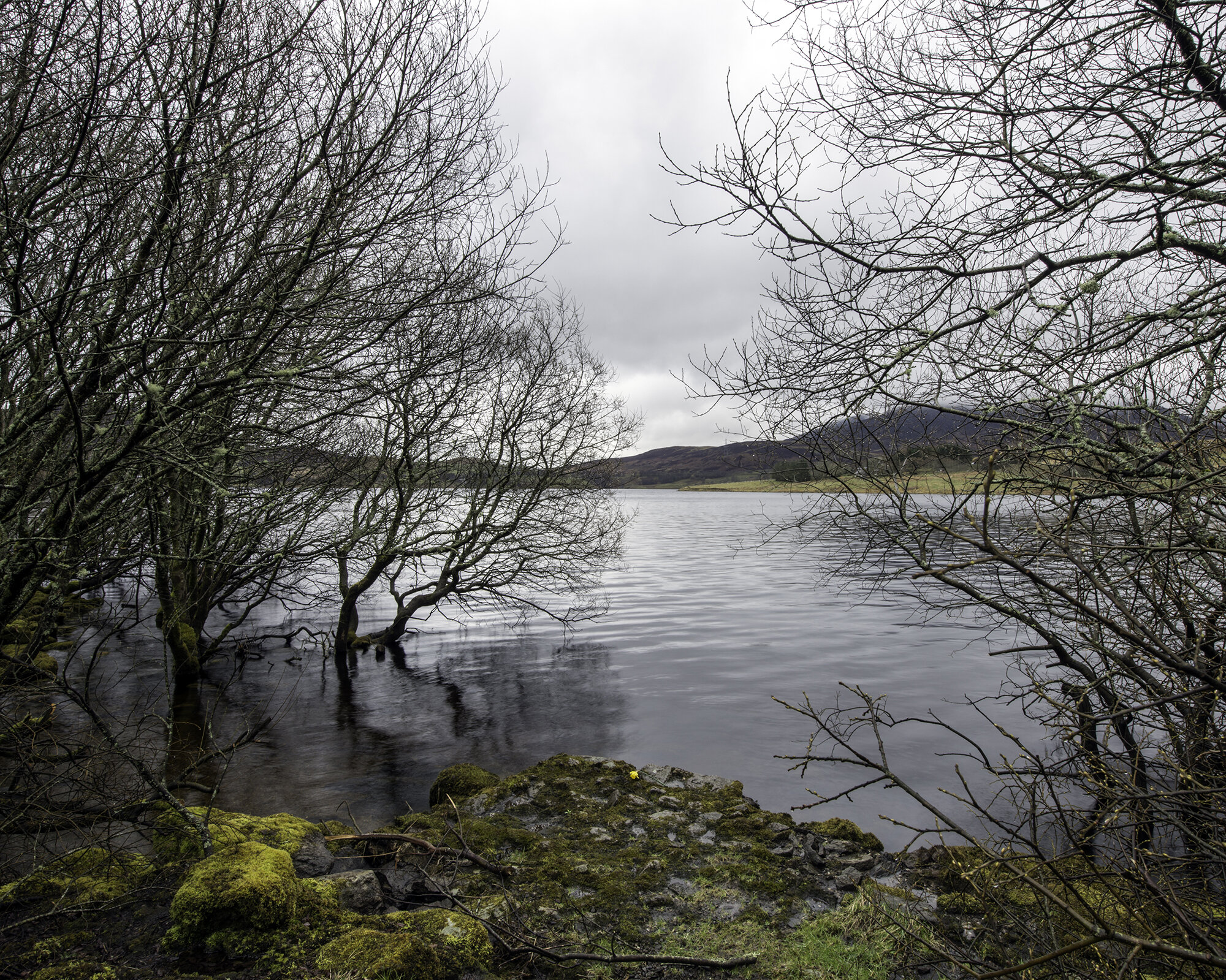
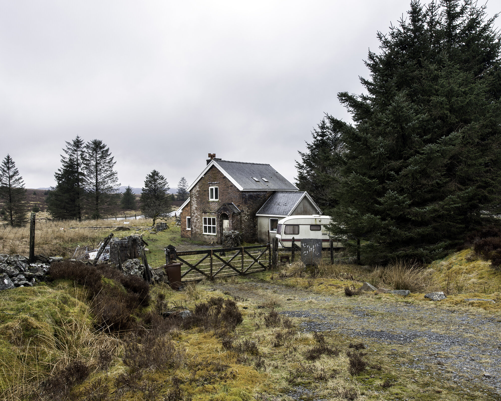

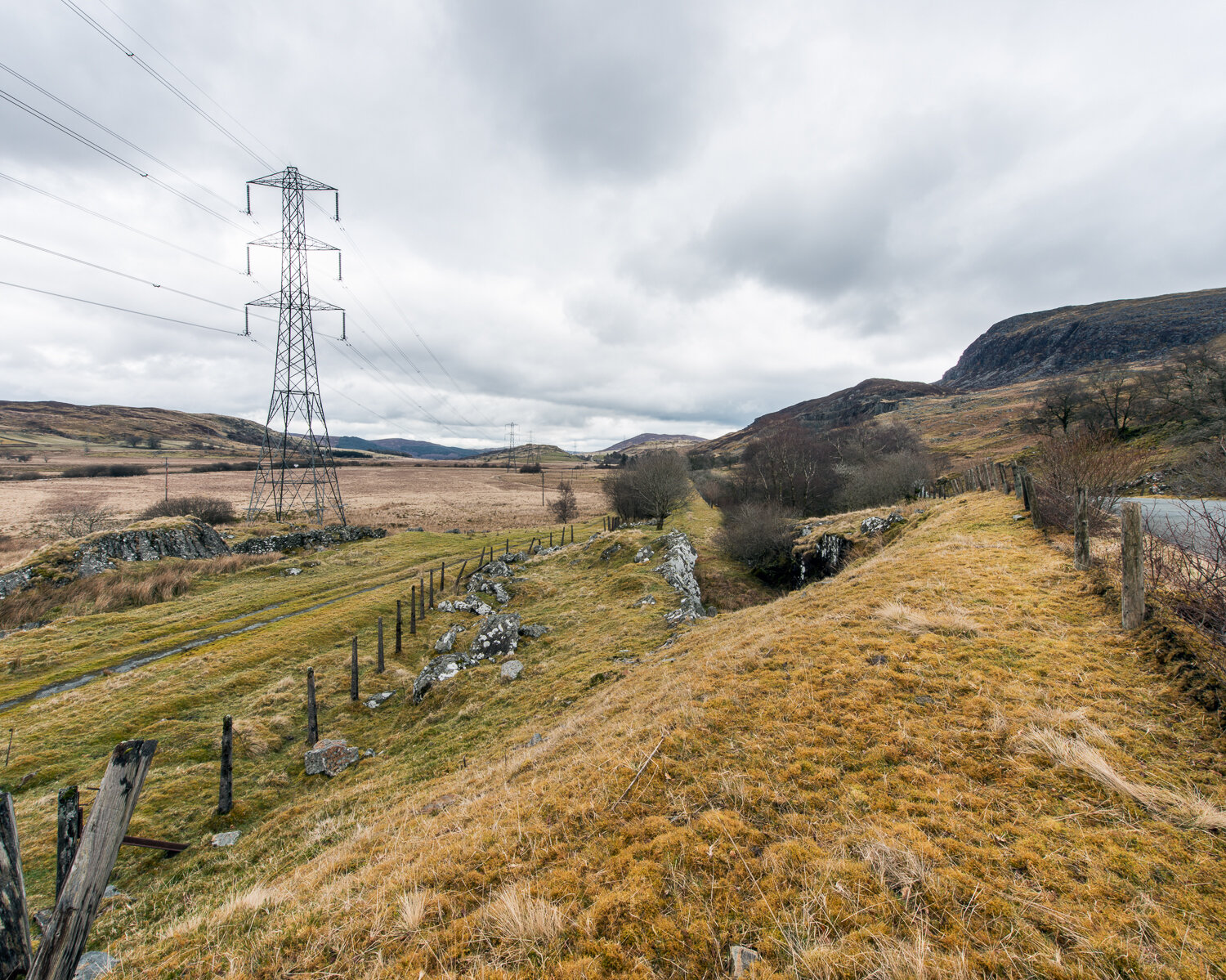
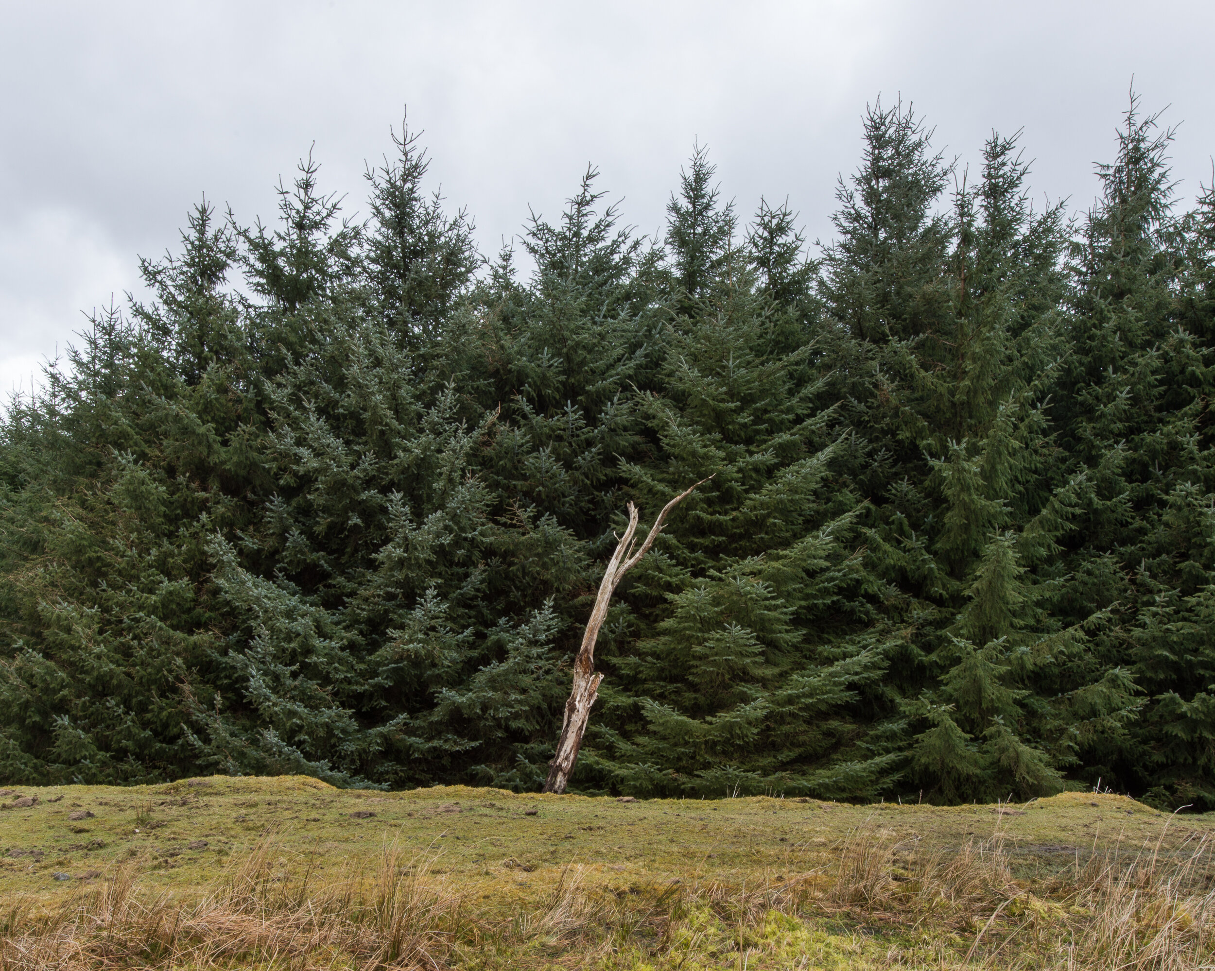

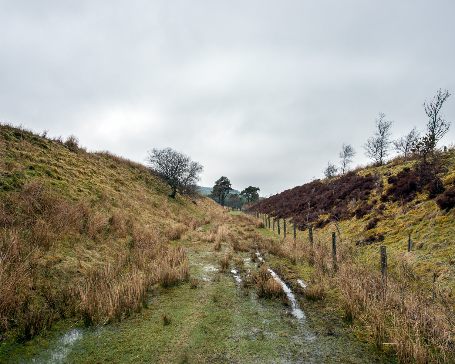

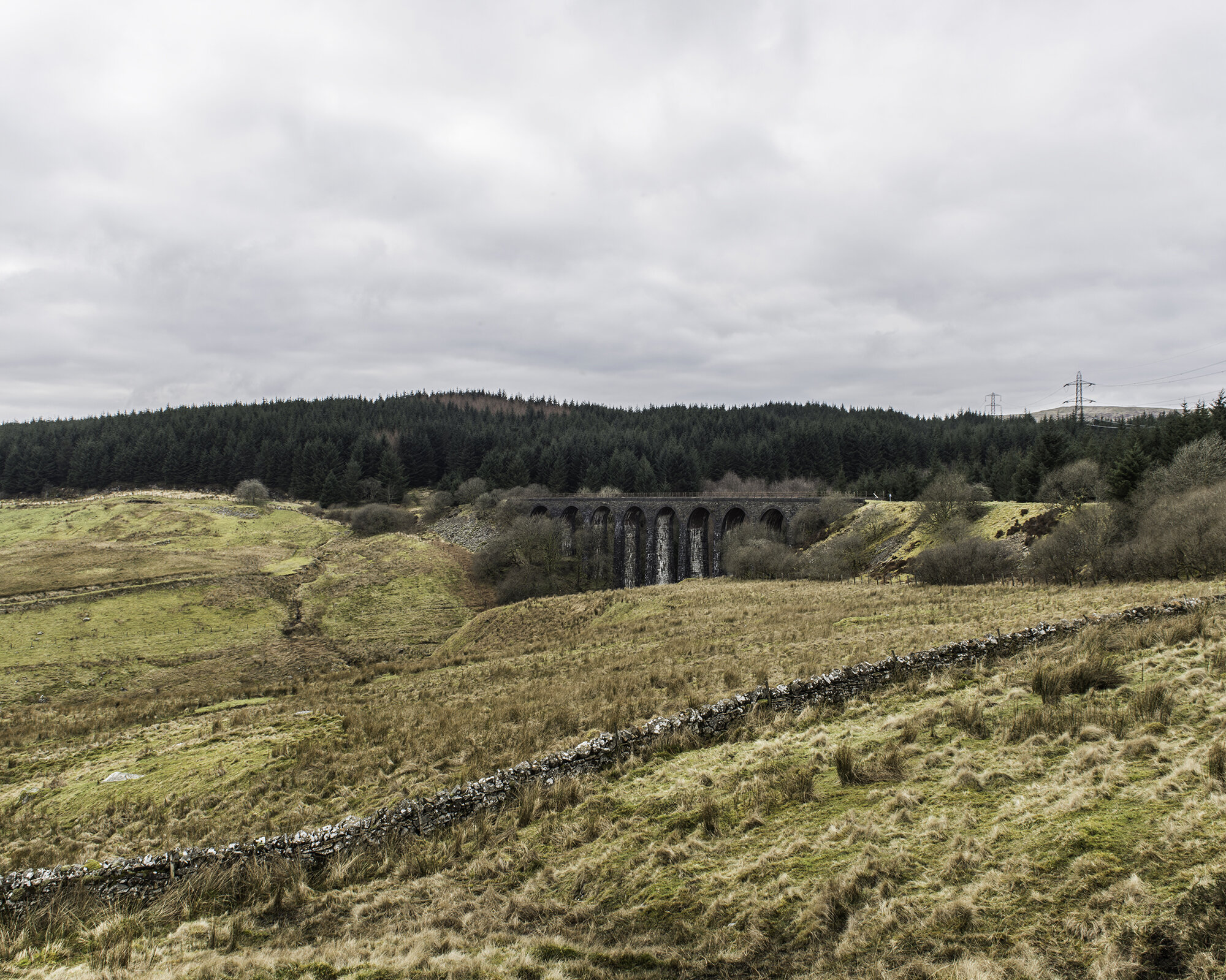

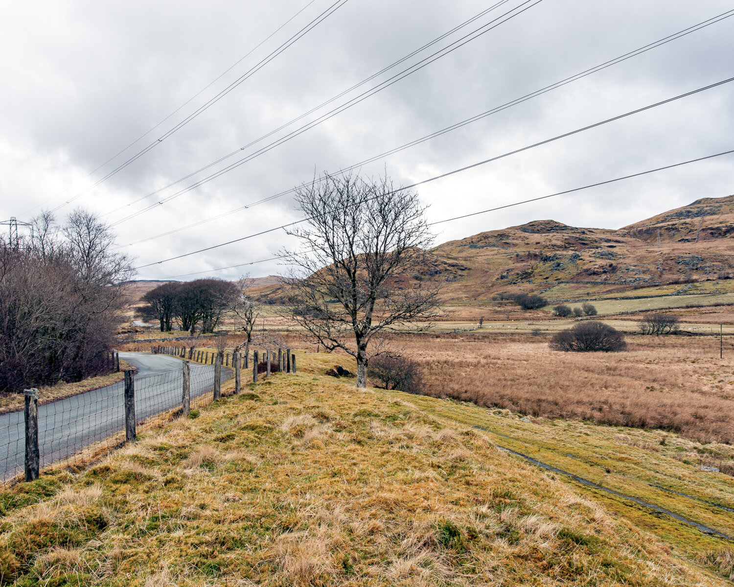
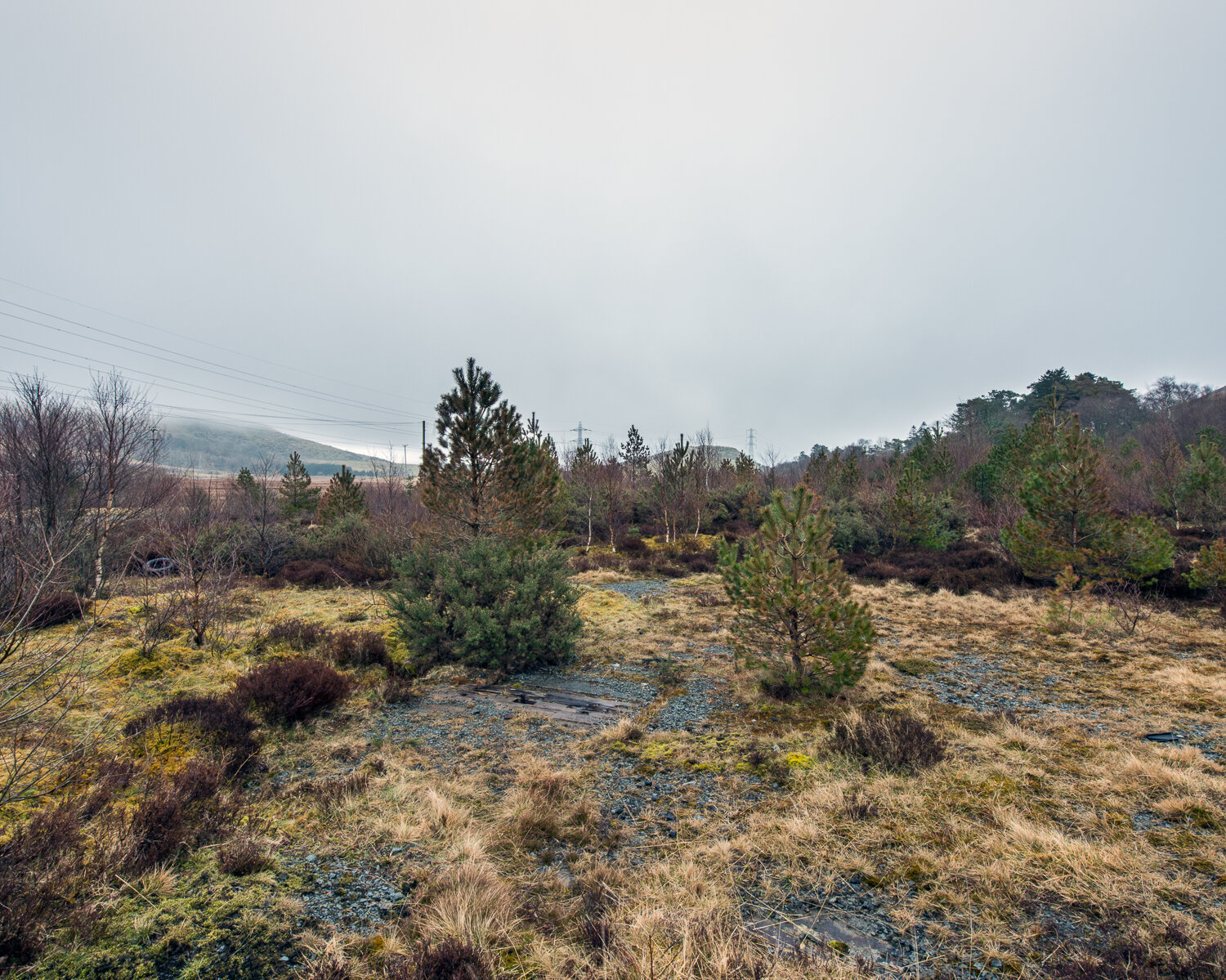
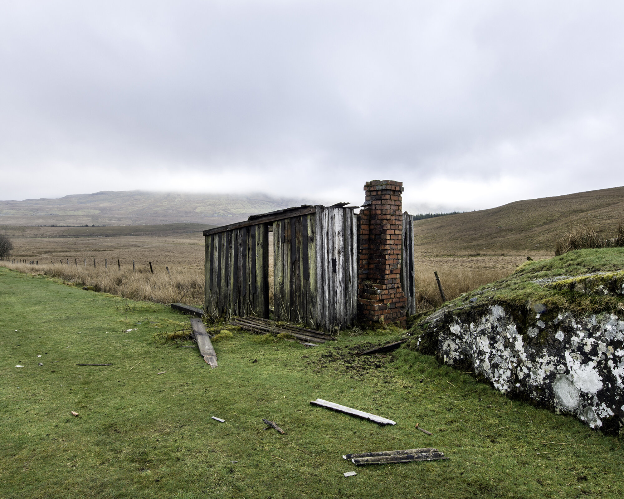
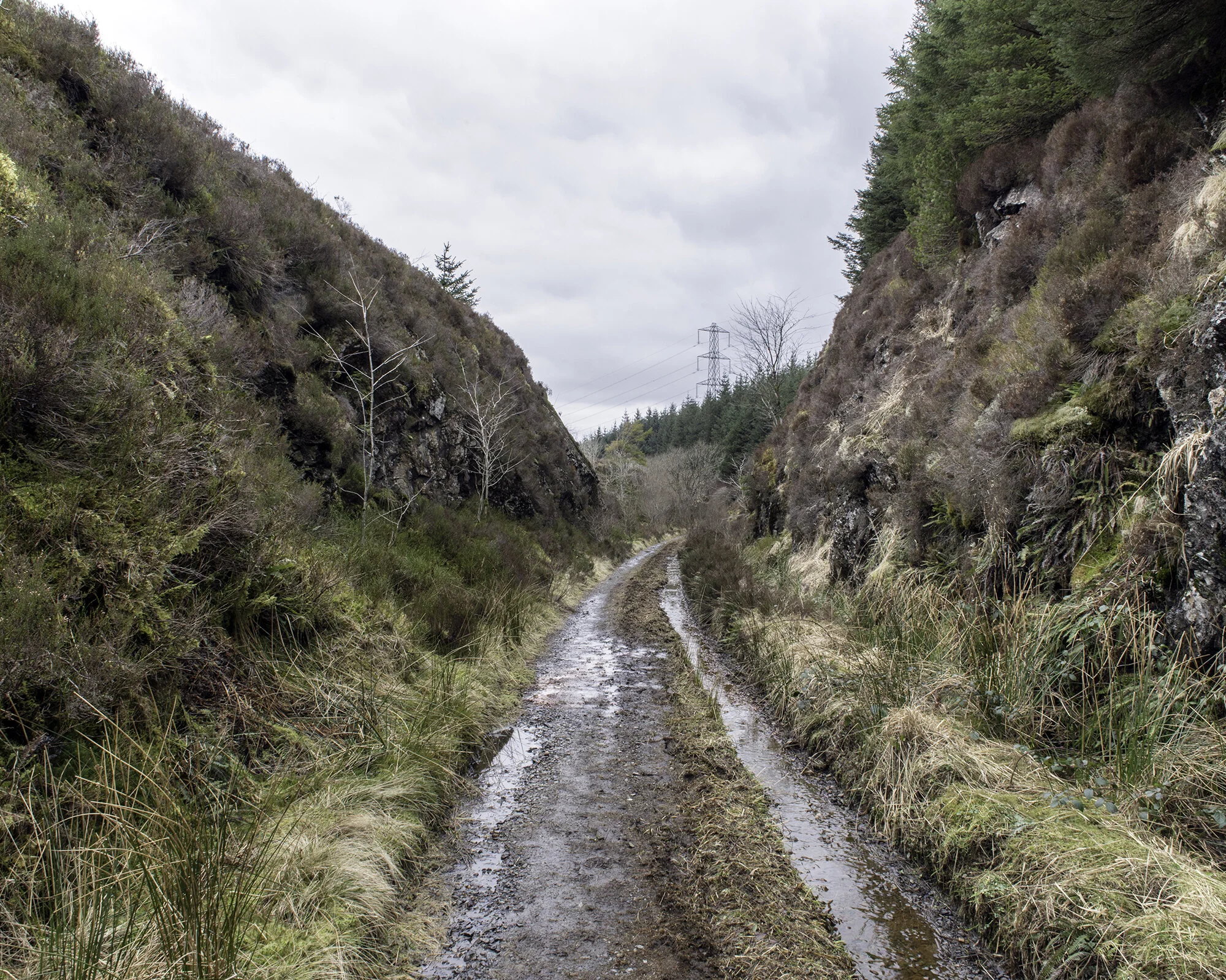
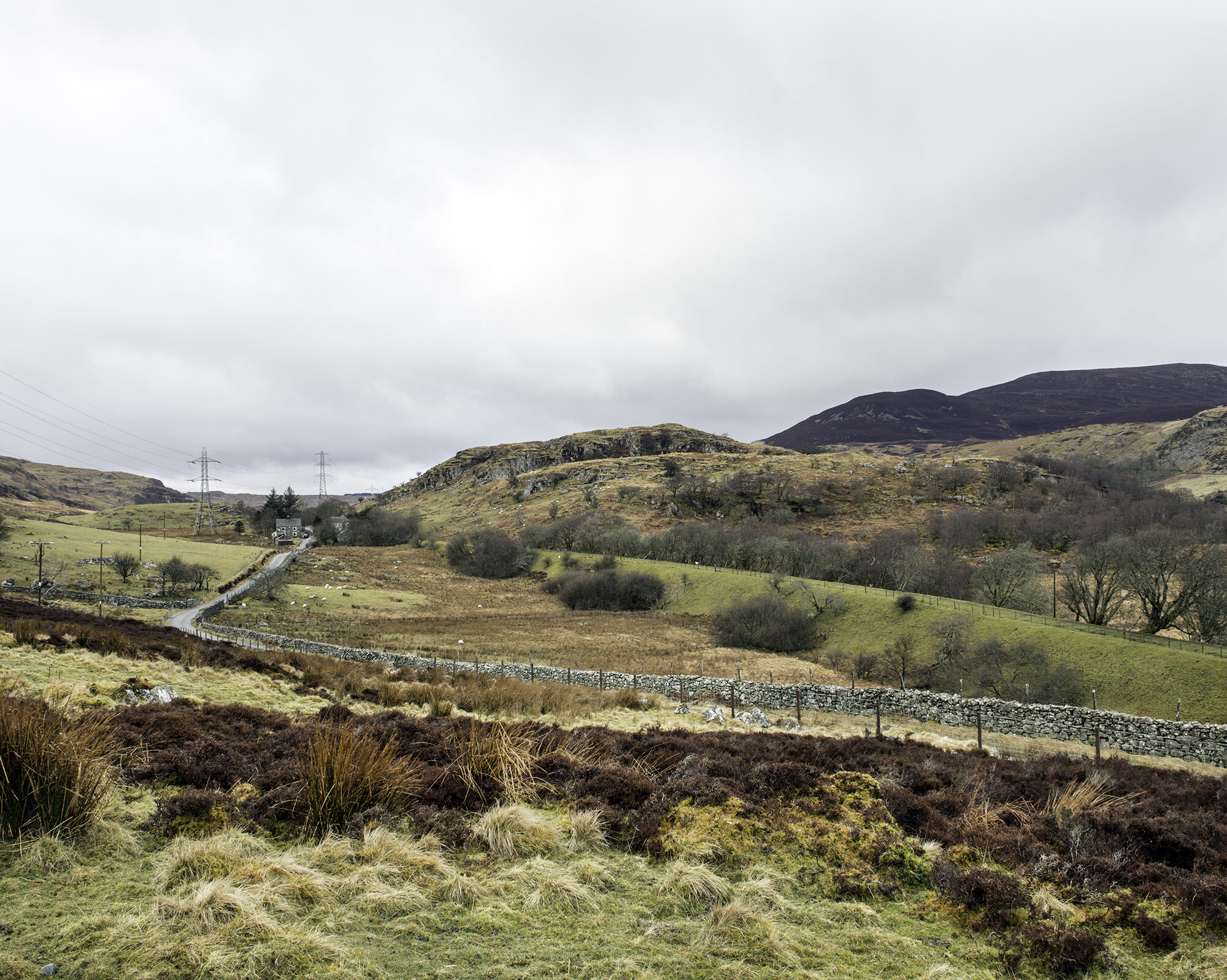
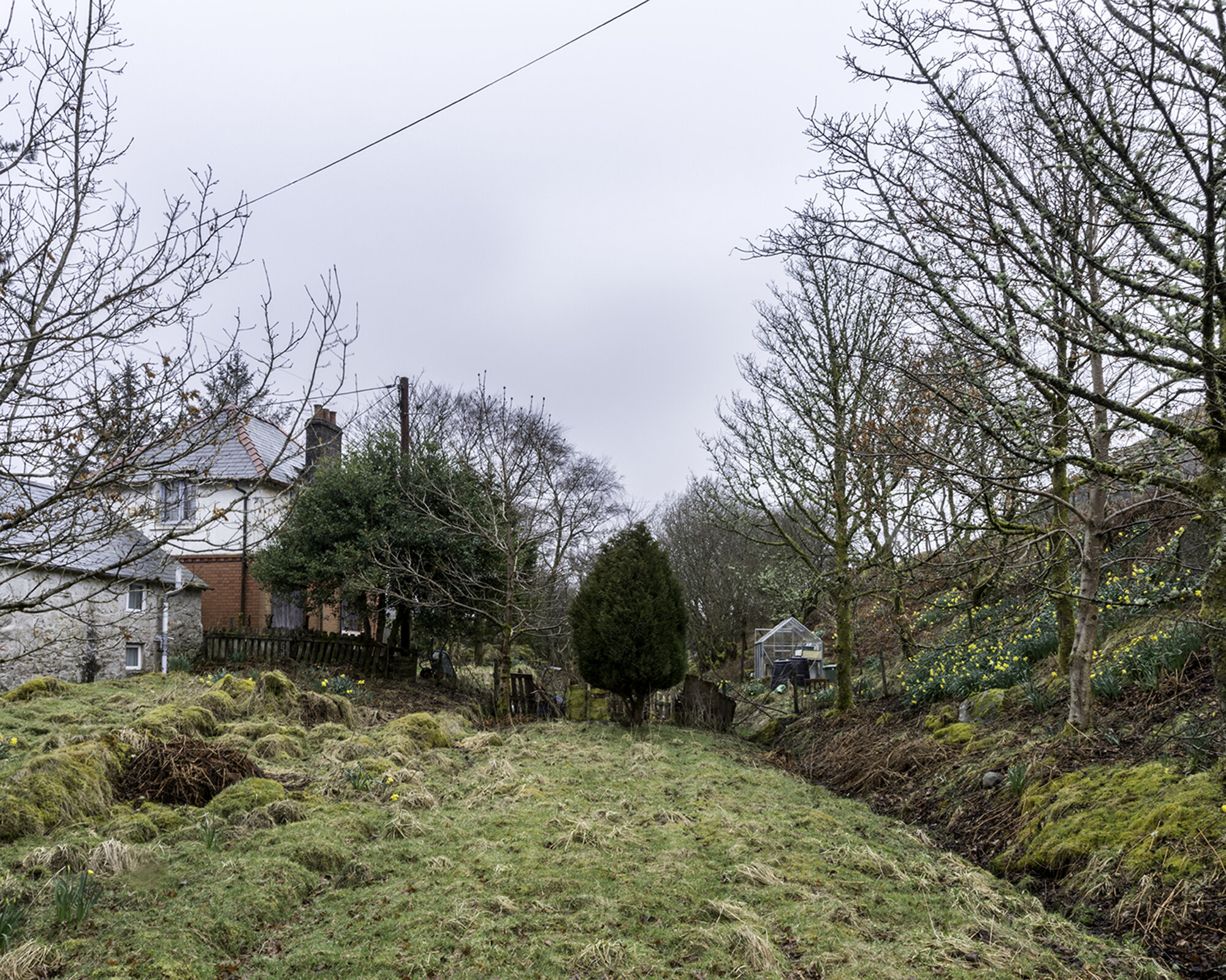
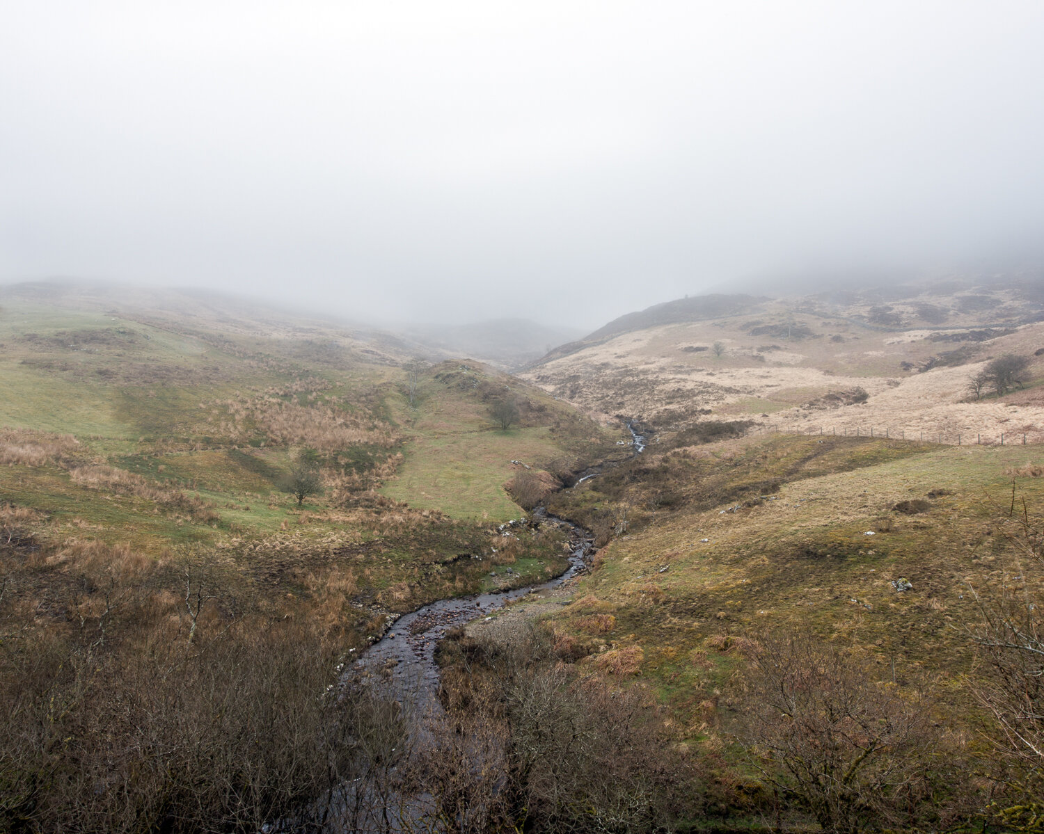

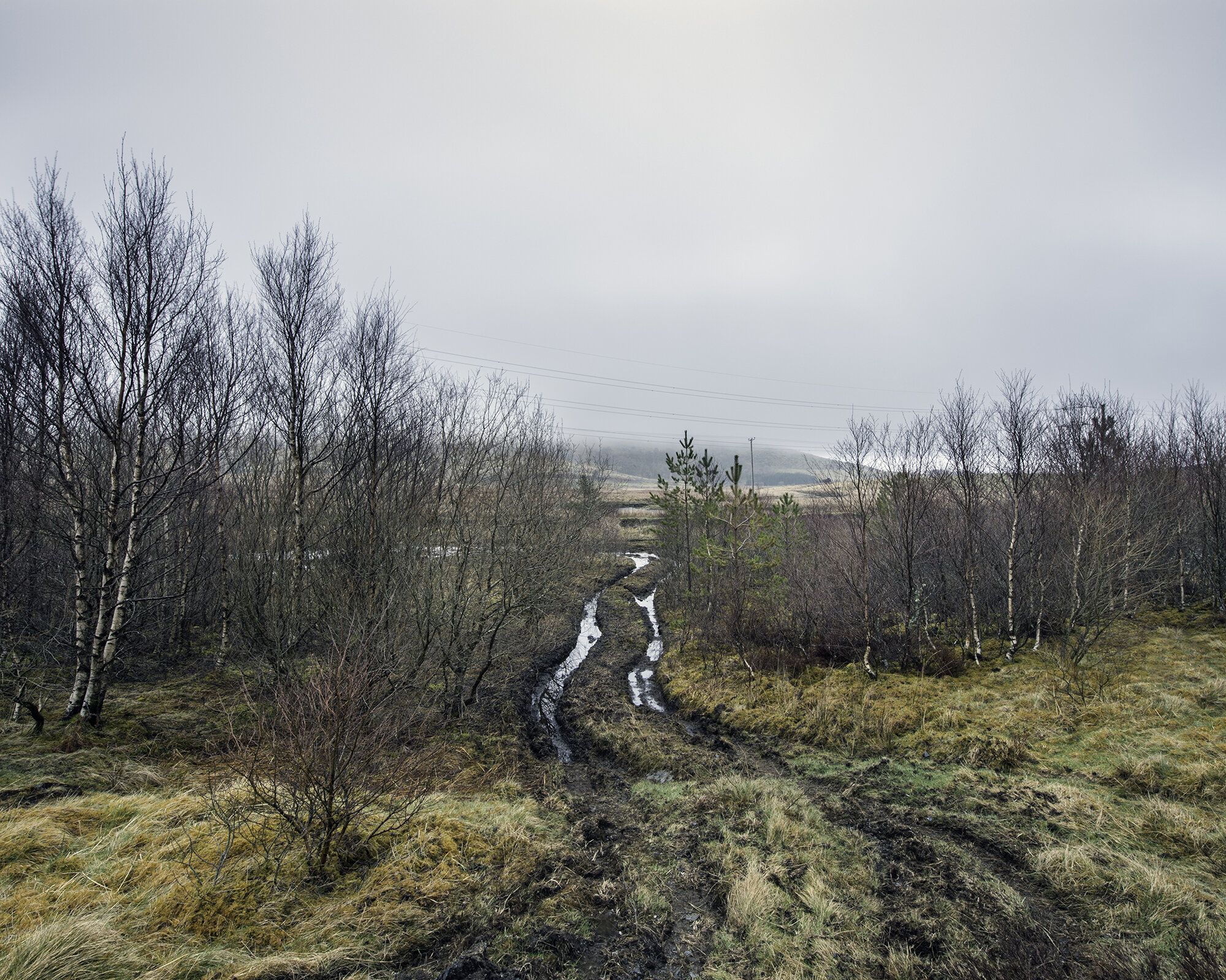
Eradication is a project documenting the disused Great Western Railway (GWR) line between Bala and Blaenau Ffestiniog in Snowdonia, North Wales. The railway was built to try and capitalise on the slate industry around Blaenau Ffestiniog in the 1870s while serving an extremely remote area. This opened the door on a new and distant world for the scattered communities as the area was only served by the single width B4391 until the A4212 road opened in the early 1960s. The 25-mile route took 10 years to construct and consisted of 16 stops which were a combination of stations and halts. At the summit of the line, the main feature was the spectacular nine-arch Cwm Prysor viaduct, located at 1278 feet (390 metres) above sea level.
In 1955, plans were submitted by the Corporation of Liverpool to construct a reservoir in the valley above Bala to supply water to the growing population of Liverpool. The city had some of the worst slums in Britain post-war and they argued for more water for improved sanitation. This wasn’t the first time they had turned to Wales for water as eighty years earlier they drowned the village of Llanwddyn to create the Lake Vyrnwy Reservoir only 18 miles away. Residents were shocked by the news that their valley where the Welsh language was dominant may be drowned.
By obtaining authority through an Act of Parliament in 1957, Liverpool City Council avoided having to gain consent from the Welsh planning authorities, and in 1965 after hard campaigning and attempts to stop the construction with several sabotages, the Tryweryn valley was flooded. The village post office, school, chapel and cemetery, were all lost. Twelve houses and farms were also submerged, and 48 people of the 67 who lived in the valley lost their homes. This also led to over a mile of the railway line being flooded along with parts of the B4391.
Although the powers granted under the act allowed for a diversion of the line, the British Transport Commission decided that the level of traffic would not justify the expenditure of £1,000,000 that re-routing of the line would entail. To allow the new works to proceed, passenger services ceased in January 1960 with the freight following a year later. Local people fought hard to save the line as it was regarded as the only means of transport for the local community. Even to this day, there is resentment to the flooding of the valley and the eradication of the village which was one of the last monoglot Welsh speaking communities. It is known as one of the most controversial construction projects in modern Welsh history.
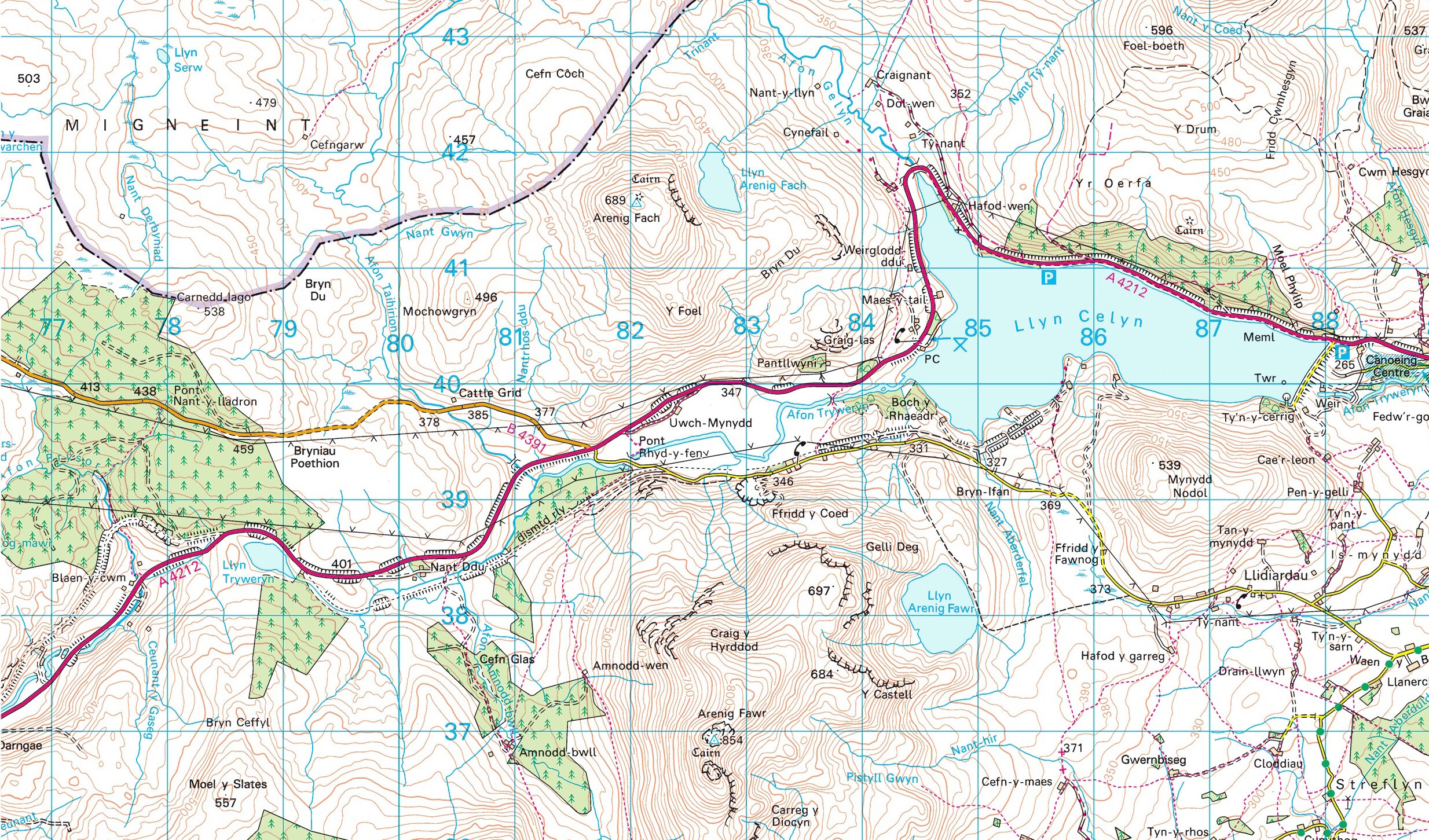
Two Ordnance Survey map illustrations above show the documented section of the disused railway between Bryncelynog halt and Tyddyn Bridge halt. The first illustration dates back to 1953 highlighting the line running through the remote countryside. The second dates to 2013 showing the changes in the landscape including the Llyn Celyn Reservoir and the A4212.
This body of work was exhibited as part of the Free Range Photography Festival held at the Truman Brewery, London in June 2018, and also as a solo exhibition at Oriel Colwyn, North Wales in September 2018.
